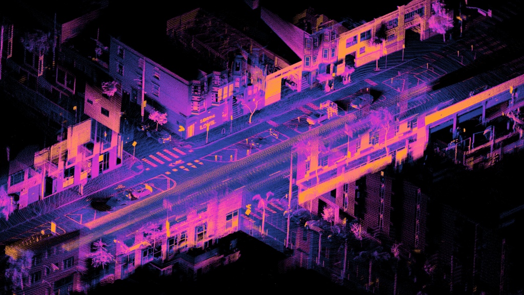
Laser scanning provides a rapid acquisition of accurate 3D data in a time and cost-effective manner.
CGS can provide 3D laser scanning and point cloud services and can also provide BIM laser scanning products and surveys. With the growing need for solid data platforms to accommodate the use of BIM models throughout the design and construction process, CGS has expanded our capability to ensure our clients’ needs are met.
Our services include but not limited to :
3D mesh models
Construction Verification and highly accurate volumetric surveys
BIM Ready point cloud models
Feature extraction and classification
2d CAD drawings and plans if required
Deformation surveys
Architectural, restoration and conservation surveys
Within a BIM environment it is vitally important to develop a scope that accommodates the requirements of all stakeholders. A little collaborative time spent on day one will pay dividends throughout the lifecycle of the project. Both level of detail (LOD), level of information (LOI) and an appropriate coordinate system should be carefully considered. CGS will work with you to build a solution that is right for you.
Benefits of 3D Laser Scanning:
Safety Ideal for surveying hazardous or hard to reach areas such as motorways, dangerous structures, confined spaces and railway
Time Reducing time on site compared to traditional survey methods.
Easy of sharing Data can be easily shared and reviewed by all stakeholders
Accuracy Full information about the shape and position of building elements leading to a lower risk of errors within a design
